
Anyone who has emailed a .zip of shapefiles knows the problem webmaps was built to solve. In Mergin Maps, we’ve been actively developing webmaps and Web GIS capabilities for the past year, aiming to build a practical tool for map sharing across teams.
Sharing QGIS maps has traditionally been a manual process, prone to human error, such as forgetting a critical file in a .zip package. It also requires a complex setup, like installing QGIS itself, exporting a .pdf version of the map, or deploying to a server manually. Often, all you need is to share a detailed view of your project so someone else can understand the context, with reliable automatic updates, but without the usual overhead. The webmaps feature in Mergin Maps fills this gap by enabling seamless, automated map sharing.
What you can do with Webmaps today
It all started with the Share Maps via URL feature, which created a unique link to your map with view-only capability for recipients. But over the past year, webmaps have grown beyond a simple share link.
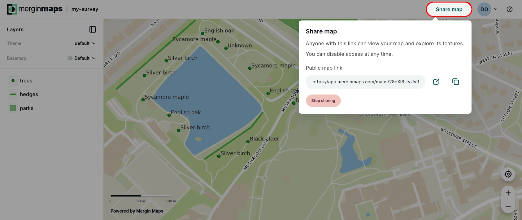
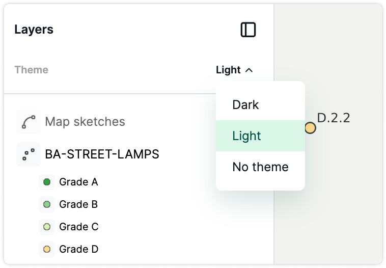
The layer tree from your QGIS project now carries over to the webmap as well, showing the same layers, groups, and symbology classes you have set up. Map themes defined in QGIS are supported too, so you can offer viewers several curated combinations of layers and background maps without maintaining anything extra. Webmaps also stay current on their own. When a new project version is published, the map updates automatically, with no refresh needed.
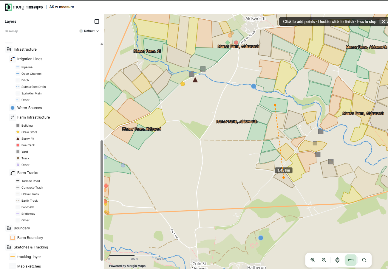
With JavaScript customization, you can customize and scale your spatial workflows effortlessly. Simply drop your custom JavaScript directly into the project folder to add tailored features, or vibe-code your own Web GIS app in minutes using natural language prompts. For example, you can add your own address locator, or measurement tools. Or, you can build a feature list panel for a specific layer, so your team can browse every record and jump straight to it on the map, no need to pan around looking for it.
The map interface itself has also been reworked. We have launched a fullscreen view with more room to explore, along with standard navigation controls and a basemap switcher. This experience is already available to anyone with early access.
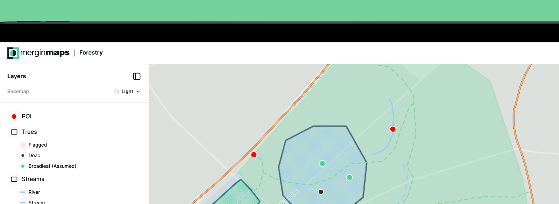
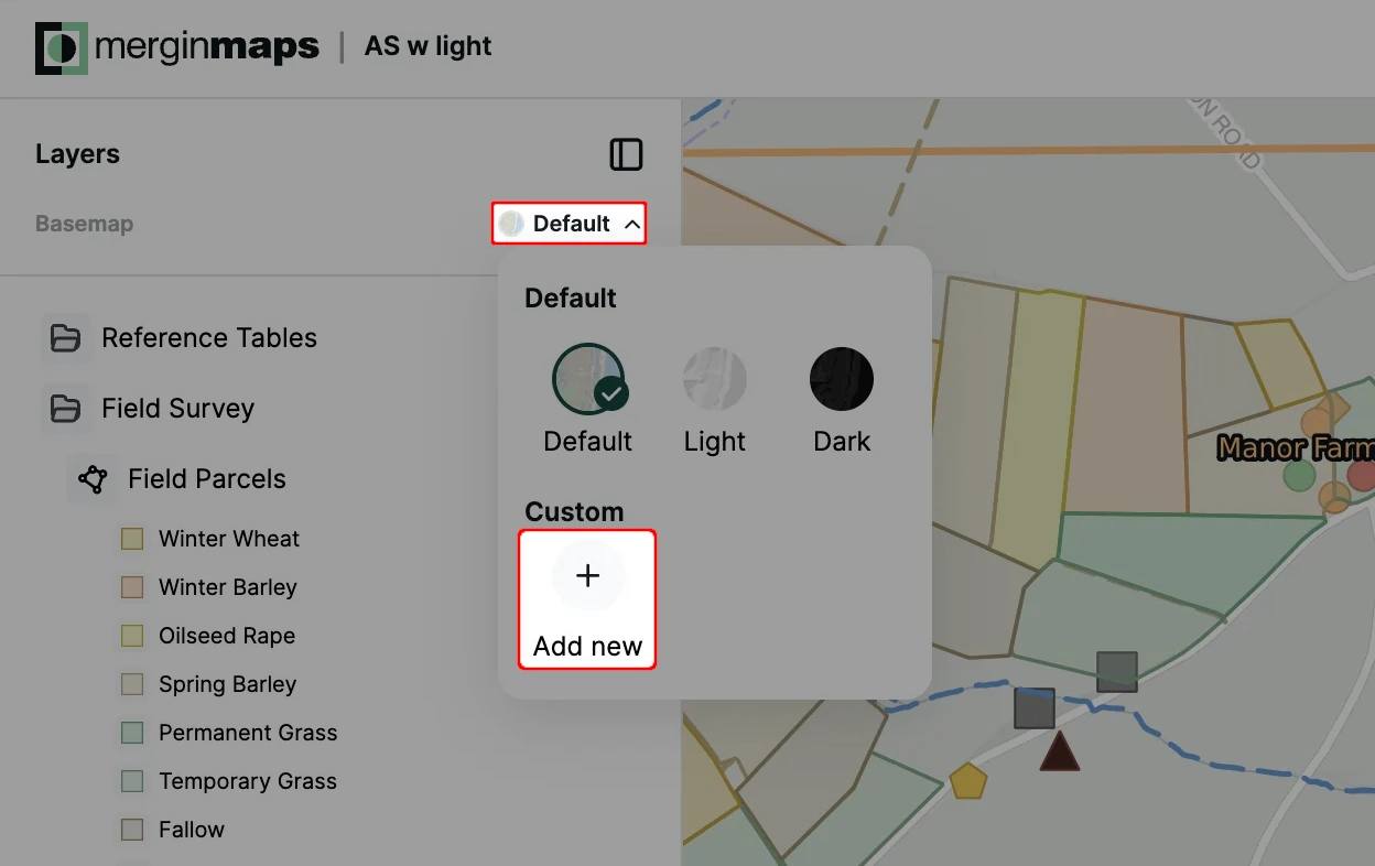
Finally, backgrounds are no longer limited to the official basemaps. From the layers panel, you can add your own background map (vector and raster tiles are both supported), or choose from three built-in basemaps: default, light, and dark.
And don't forget maps can now be embedded directly into external websites and apps through an iframe. You can only drop the map's URL from the share options into the iframe source (more embedding options are on the way, later this year).
Try it yourself
Early access features like Share map via URL and OGC API access are ready to enable today. Head to your workspace settings page to turn them on. If you're not a workspace admin or owner, ask whoever is to flip the switch for you.