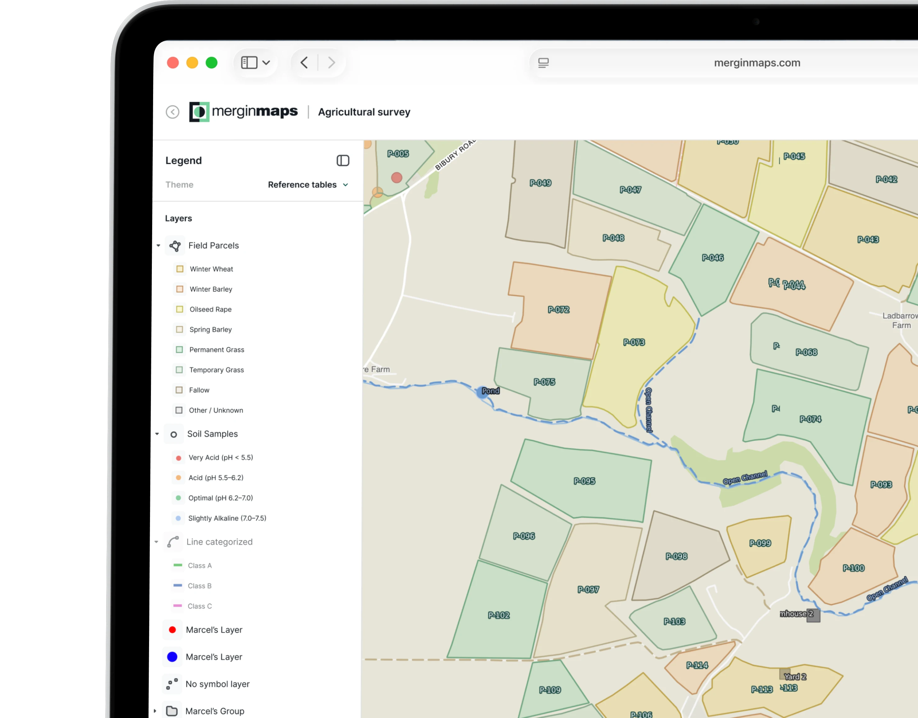
Forget the headaches of configuring add your own technology. We handle the entire backend infrastructure for you. You get the full, native rendering power of a dedicated qgis server running securely in the cloud, completely maintenance-free.
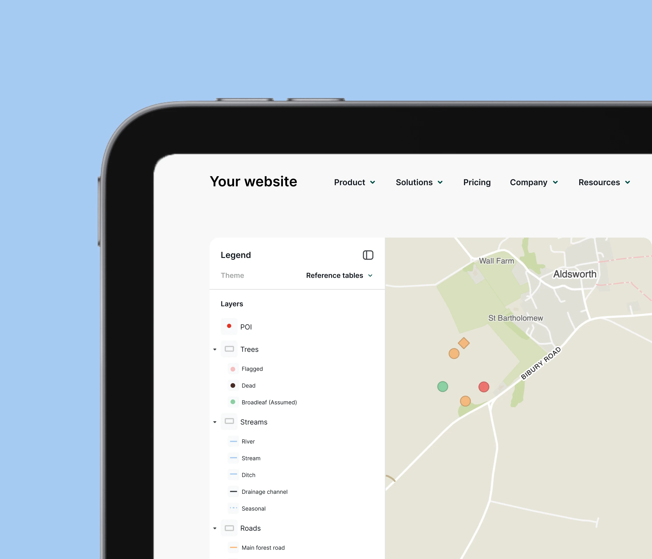
Make your QGIS data accessible to everyone, not just GIS professionals. Convert your heavy desktop layers into interactive, high-performance web maps. Stakeholders can zoom and query data directly in their browsers via a simple, shareable URL.
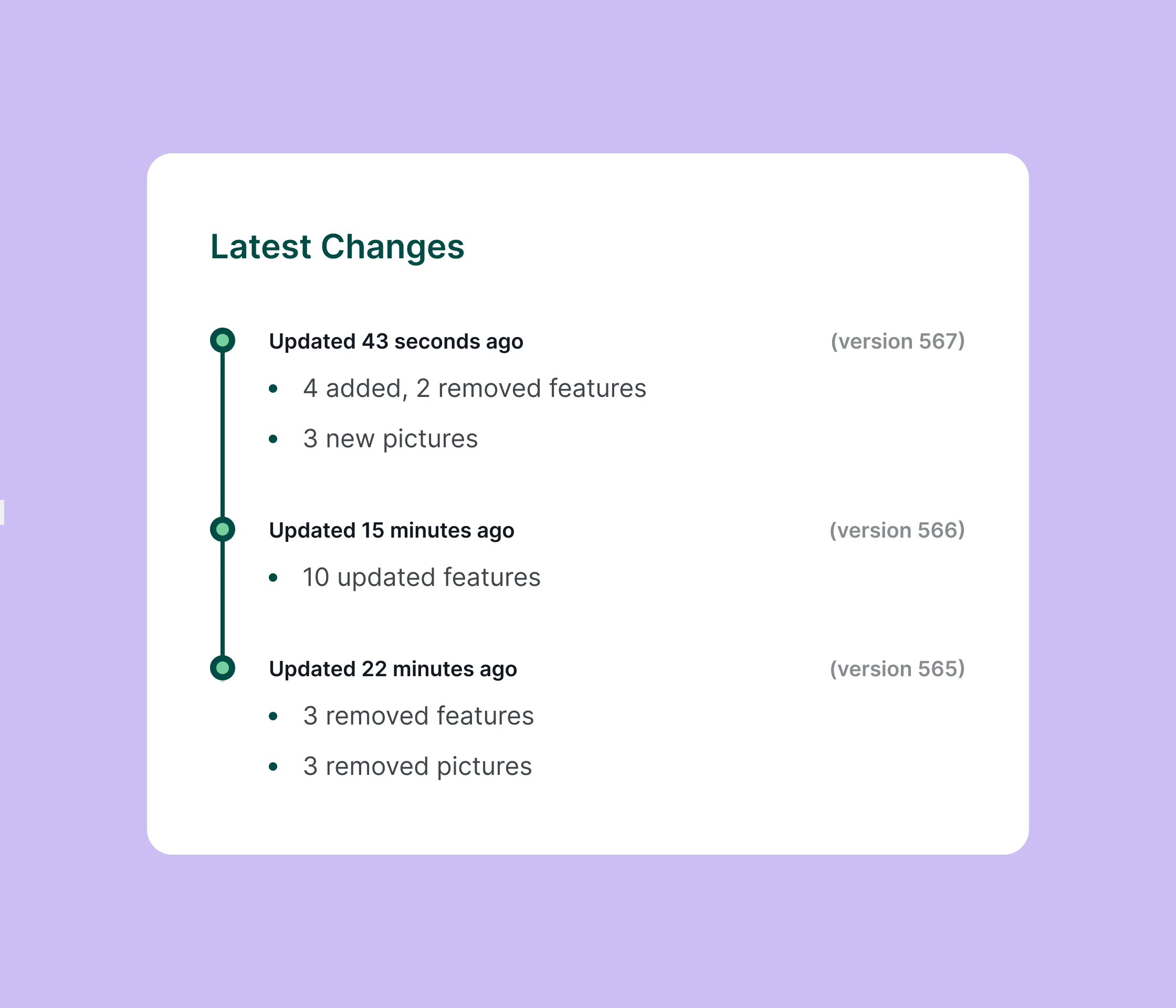
Keep your field apps, desktop software, and web views perfectly synchronized. Whether you update a layer on your laptop or field crews log data on their phones, our cloud architecture pushes updates on server.
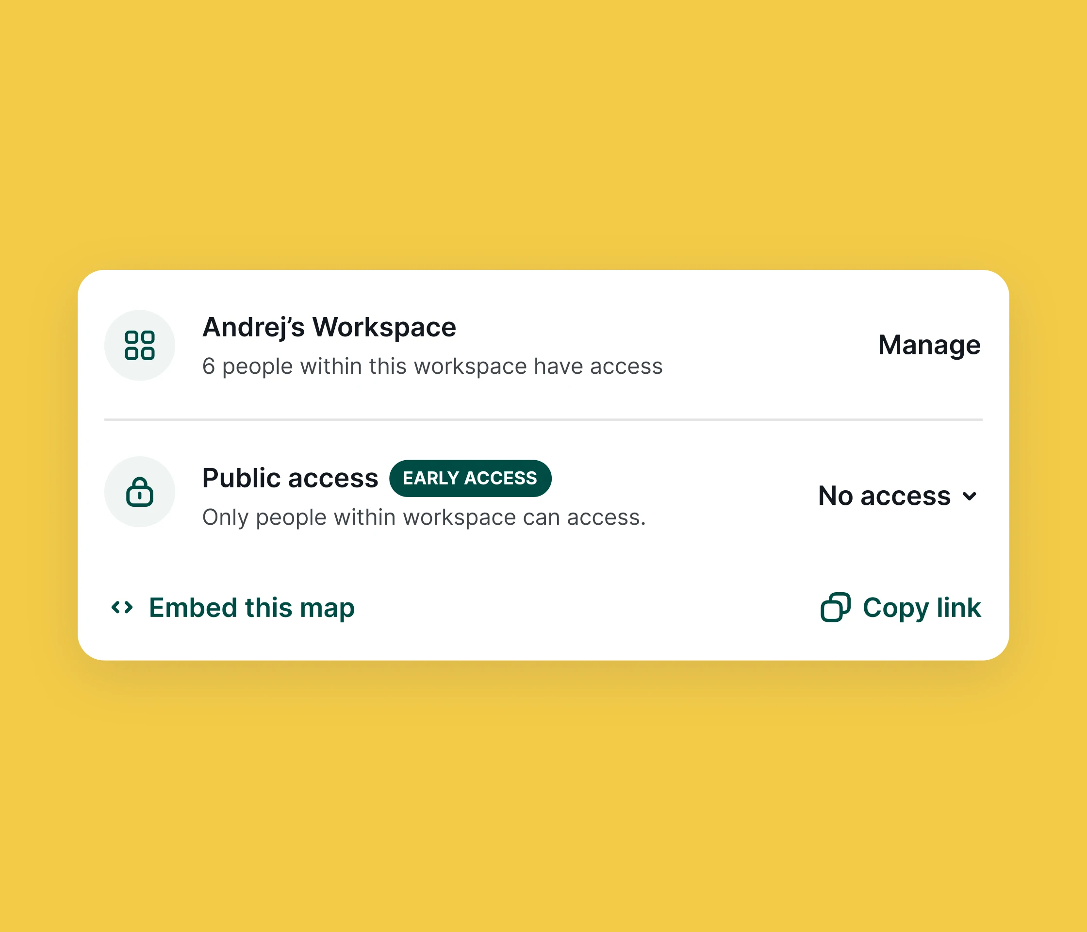
Choose who sees your data. Keep your QGIS cloud projects strictly internal, share them securely with specific clients, or publish them openly to the world via embedding.


No. We handle 100% of the infrastructure. Traditional web mapping requires configuring a dedicated Linux environment, managing firewalls, and manually installing a QGIS server. With our QGIS cloud solution, the hosting is fully managed. You click sync, and your map goes live instantly without your IT team lifting a finger.
While Mergin Maps is traditionally known for data collection between desktop QGIS and mobile field apps, this new product line is built for instant web presentation and distribution. It turns your project into an interactive web GIS portal, allowing anyone with a simple URL to view, search, and interact with your spatial data, no app download required.
Whenever you make edits, add data, or modify styles within your local QGIS project or from the mobile app, simply click the sync button. Our automated syncing pipeline immediately pushes those changes to the QGIS online map, making your data visible in seconds. The web map automatically refreshes in the background, so there is no need to re-upload files or regenerate URLs.
Yes. Every map you publish outputs industry-standard OGC web services. Your data is instantly accessible via WMS (Web Map Service) and WFS (Web Feature Service) URL endpoints. To guarantee the security and integrity of your live projects, access through these external API endpoints is strictly read-only for the time being.
While Mergin Maps is traditionally known for data collection between desktop QGIS and mobile field apps, this new product line is built for instant web presentation and distribution. It turns your project into an interactive web GIS portal, allowing anyone with a simple URL to view, search, and interact with your spatial data, no app download required.
