Free plan for Universities teaching modern GIS approaches with the need of QGIS field data collection

We are supporting teachers and students who want to use Mergin Maps to digitise field surveys for academic purposes.


With unlimited users, projects and up to 5 GB of cloud storage, you have everything you need to conduct a field survey with your class. You can enjoy the field data collection tools professionals use, but for free.
Get academic plan
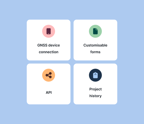
In the Academic plan you will get access to all needed features like GNSS device connection, customisable forms, API or project history.
If you have problems or technical difficulties, you can use our community support on Slack. Alternatively, with vast knowledge of our documentation, you can find answers for the most common questions.
Get academic plan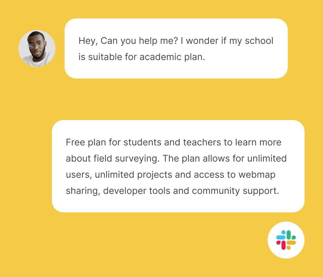
The Academic Plan is intended for students who are using Mergin Maps as part of their studies, including coursework, semester projects, or final theses. It is also available to teachers who use Mergin Maps as a tool for teaching.
The plan does not cover research activities or any commercial use by universities or other institutions. However, these groups may still qualify for a 25% discount under a different pricing plan.
Applications are reviewed once per week, usually on Fridays.
Students are asked to provide a scan of their proof of enrollment and their university ID card. Teachers should submit an employment verification letter or a similar form of official confirmation.
Yes, private educational institutions are eligible to apply for the Academic Plan.
If your project requires additional storage, please contact our sales team to discuss available options.
No, if your teacher’s workspace has already been approved under the Academic Plan, you do not need to submit a separate application unless you would like to use your own workspace.
Yes, the Academic Plan covers one-time or short-term projects, as long as they are conducted for teaching purposes and involve students.
