Working with Non-spatial Tables
Non-spatial tables are often a key part of a survey project. The tables can be used either on their own to add new data or linked to a spatial layer, e.g. when linking multiple photos or records. They can be also used in value relation widgets.
We recommend using GeoPackage format to save your non-spatial table. With this format, you can collaboratively edit the data and track changes.
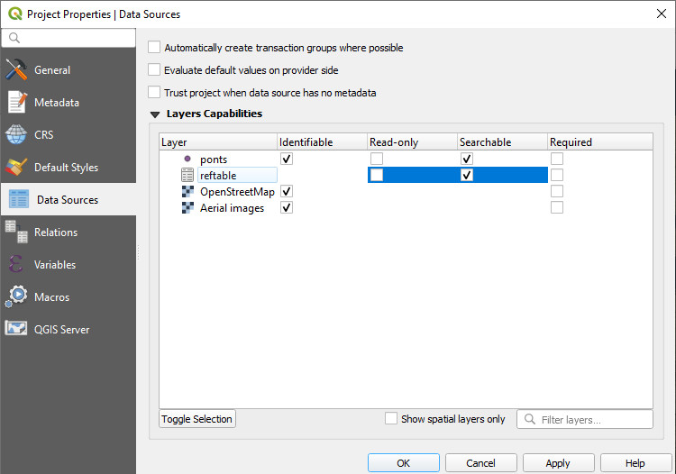
Enable editing and browsing of non-spatial layers
Ensure you have enabled editing and browsing of your non-spatial table in Project Properties in QGIS.

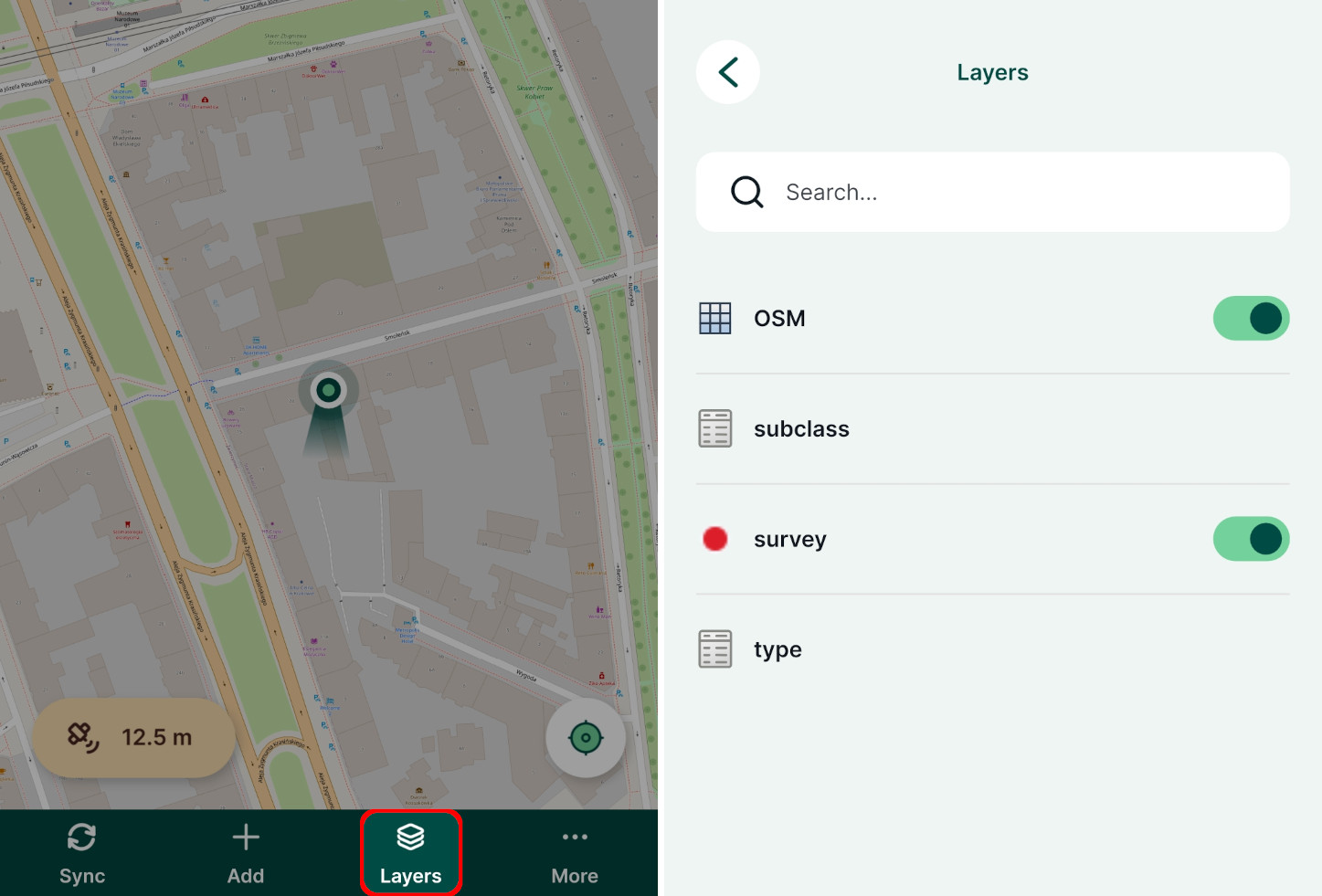
Non-spatial layers in Mergin Maps mobile app
Non-spatial tables can be browsed, searched and edited in the mobile app.
Tap the Layers button to open the list of layers, including non-spatial tables, in the project.

Tap on a layer to open its attributes table where you can browse the data and search for values. It is also possible to add and edit entries in the table.