Position Tracking
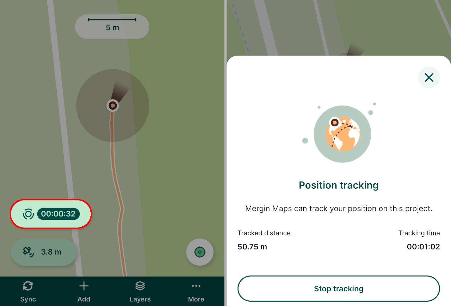
Position tracking is useful when you want to record your tracks during the field survey. This can help you know the extent of areas you have already surveyed in addition to the surveyed features.
Set up position tracking in QGIS project
Tracking needs to be enabled in QGIS when preparing your Mergin Maps project.
Open your Mergin Maps project in QGIS
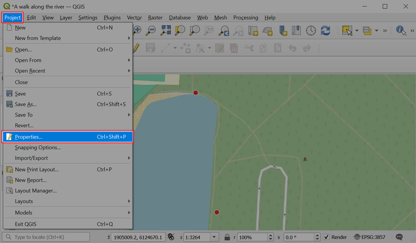
Navigate to Project > Properties
In the Mergin Maps tab, check the Enable tracking option.
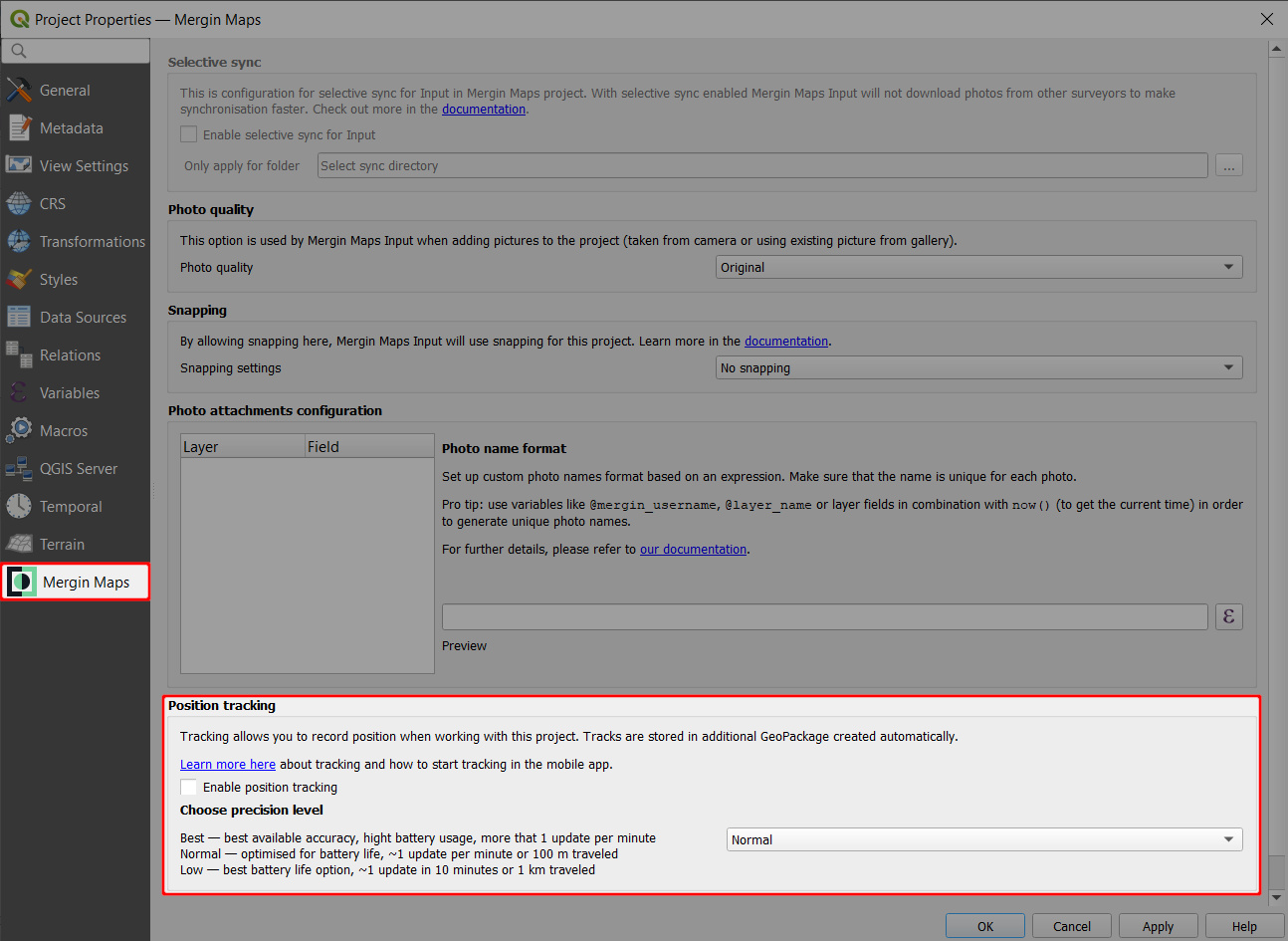
You can also choose how often the position should be recorded.
This affects the accuracy of the tracking and it may affect the battery usage: for longer surveys that don't require high accuracy, you may want to choose the Low option. If you need to have more detailed tracking, choose Best available accuracy.
Don't forget to save and synchronise your project!
Enabled tracking means that a new line layer for tracking will be created in your Mergin Maps project called tracking_layer.gpkg. This layer is created with a set of fields with set up default values:
| Field name | Data Type | Default variable | Description |
|---|---|---|---|
tracking_start_time | DateTime | @tracking_start_time | Date and time when tracking started |
tracking_end_time | DateTime | @tracking_end_time | Date and time when tracking ended |
total_distance | Real | $length | Tracked distance |
tracked_by | String | @mergin_username | Name of the current Mergin Maps user |
You can add new fields as needed, however, they should be set up with automatically generated default values as Mergin Maps mobile app will not open the form for manual inputs. You may use some of the QGIS functions, extra position variables or extra QGIS variables.
Using position tracking in Mergin Maps mobile app
To use tracking in the mobile app, make sure that you enabled tracking in the QGIS project's settings.
Tap More and select the Position tracking option.
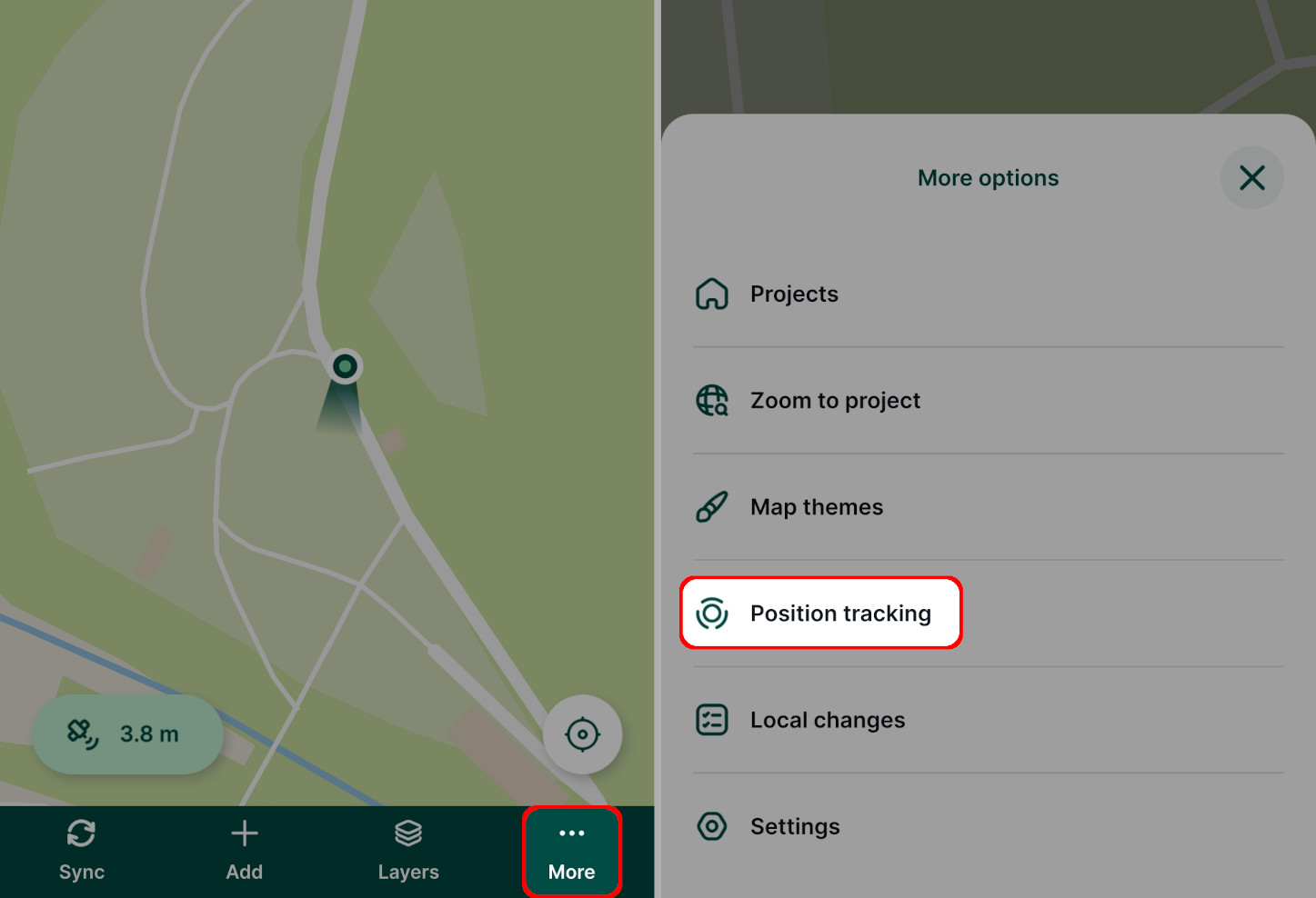
Tap Start tracking.
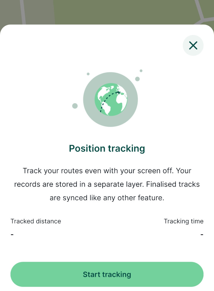
The mobile app will continuously record your position.
You can continue using the mobile app or other apps on your mobile device in the usual way. There will be an indicator that tracking is running in the status bar of your device.
To stop tracking, go to the Position tracking option and tap Stop tracking.
Your tracks are saved in the automatically created
tracking_layerin your project.