


GAIA and water management in Tuscany
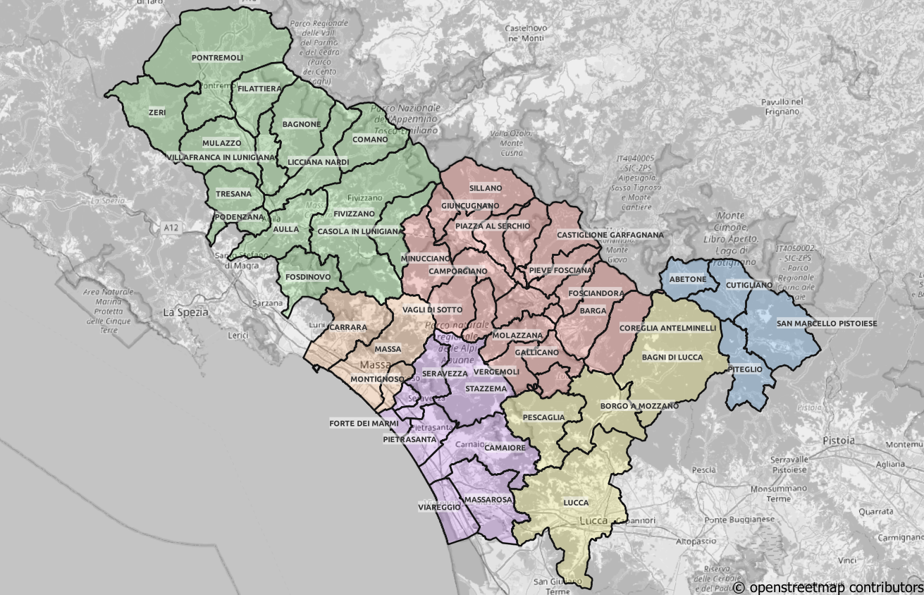
For a region like Tuscany in Italy, with a dense population and 3000 years’ worth of underground archeological heritage, managing the water supply can be more complex and burdensome than a typical European region. GAIA S.p.A has embraced the challenge, and successfully manages almost 8,000 kilometers of combined water and sewage network, serving 250,000 users. Mergin Maps has been the key tool for data collection, navigation, and office-to-field coordination.
Francesco Barsotti, GIS coordinator at GAIA, supported by the IT team lead Massimiliano Bertolucci, shares the experience of adopting Mergin Maps into their network management and mapping activities.
Migrating water management to Mergin Maps
Before adopting Mergin Maps, GAIA's team had tested other solutions, both open-source and proprietary. However, recurring licensing issues and support limitations made them scan the market for a more reliable solution, leading them to Lutra Consulting and Mergin Maps at the FOSS4G conference in Florence in August 2022.
Francesco credited the Mergin Maps team's responsiveness for the smooth transition: the challenges were there, but whenever questions or obstacles came up during setup, the team provided solutions quickly, helping GAIA move from a trial demo to a full deployment. Comparing Mergin Maps with other open-source solutions, Francesco said that Mergin Maps' field-to-office data exchange is faster and more dependable, with fewer sync conflicts, and considered its interface noticeably more approachable for less experienced field staff. This proved especially important given the spectrum of workers, technicians, and machine operators they needed to onboard.
Real-time, 24/7 office-to-field coordination in practice
GAIA self-hosts Mergin Maps on its own server, supporting around 150 active users today with growth expected toward 250 as adoption continues. The platform serves two primary purposes across their water and sewage network. Most users, such as technicians, laborers, and machine operators, use it primarily as a field viewer, a “GPS on the field”, checking the pipe network, confirming their position, and navigating to job sites. A smaller group, including dedicated office mapping teams, uses it for active data collection, reporting roughly ten new pipe records daily and helping close gaps in network coverage that weren't previously documented.
Beyond core mapping, GAIA utilizes features like DB sync, offline maps, built-in navigation, and document attachments that let field workers pull up PDFs with detailed asset information, such as tank specifications, directly on site. One of the aspects they value most is automatic information sharing around the clock: field and office teams can exchange data continuously, even outside business hours when urgent issues arise. They've also confirmed the platform performs reliably without an internet connection, which is essential given that parts of their network extend through remote areas with limited or no connectivity.

8,000 kilometers of pipes for over 250,000 users
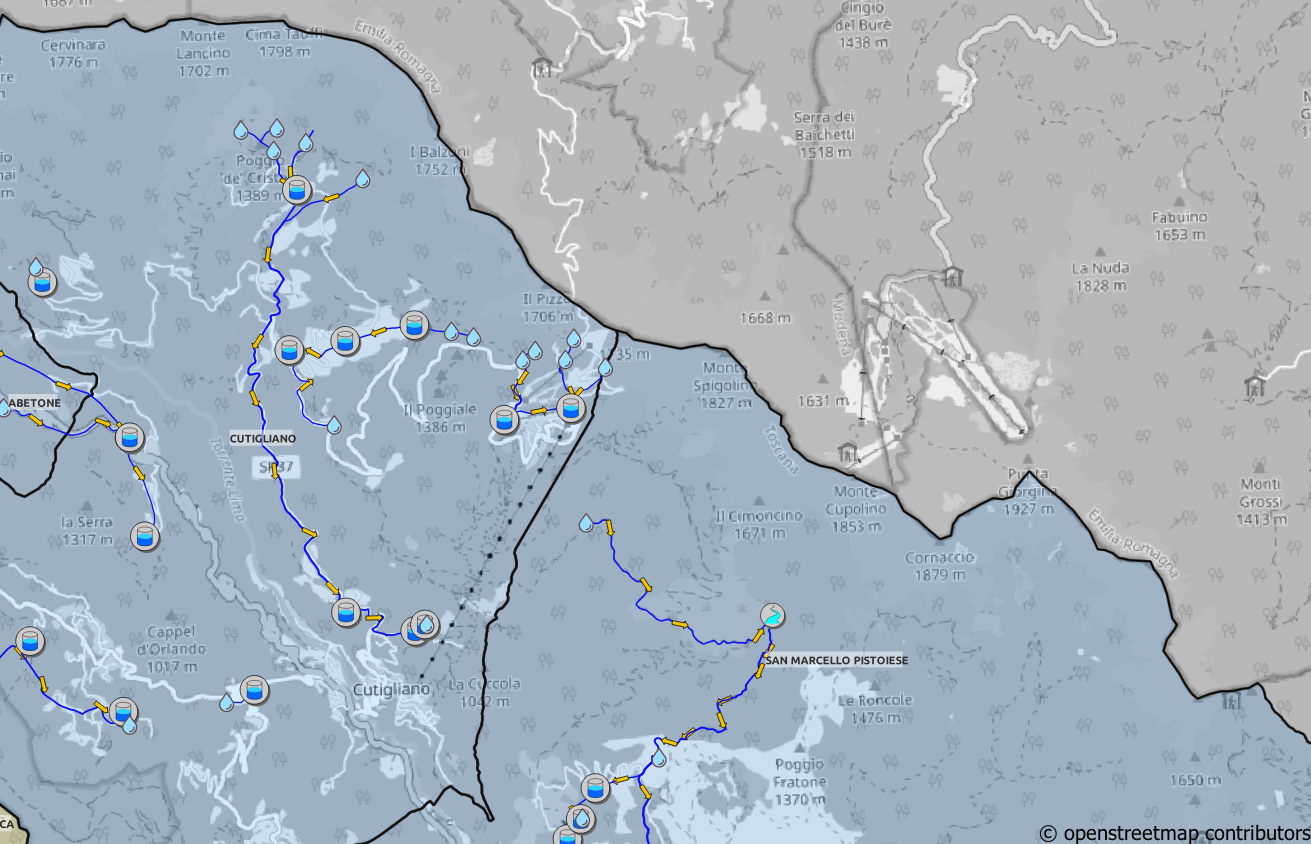
Francesco emphasized on the significant mapping work that they’ve undertaken the past five years, the time period during which Mergin Maps has been by their side. He highlights an almost 10% increase in their mapped water supply network: From 5,200 kilometers in 2021 (before adopting Mergin Maps), they now amount to 5,700 kilometers (with another 2,200 kilometers of sewage network). He also demonstrated those impressive numbers with a QGIS project.
A growing network, an evolving backbone
GAIA is excited about an upcoming Mergin Maps feature for easier map-sharing and lightweight editing across the dashboard (the feature is now already in early access). This will allow them to move even further beyond pure data collection toward more collaborative map sharing, since information-sharing (24/7 field access to maps) is what they see as the biggest current benefit.
For GAIA, Mergin Maps started from a field data collection tool and has evolved into the backbone of how their teams navigate, communicate, and coordinate across thousands of kilometers of network every single day. With expanded map-sharing features on the horizon, and a growing user base, the platform is ready to deepen its role in GAIA's operations. As Francesco puts it, the biggest value is always-on information sharing between office and field, a need that grows together with the network.


