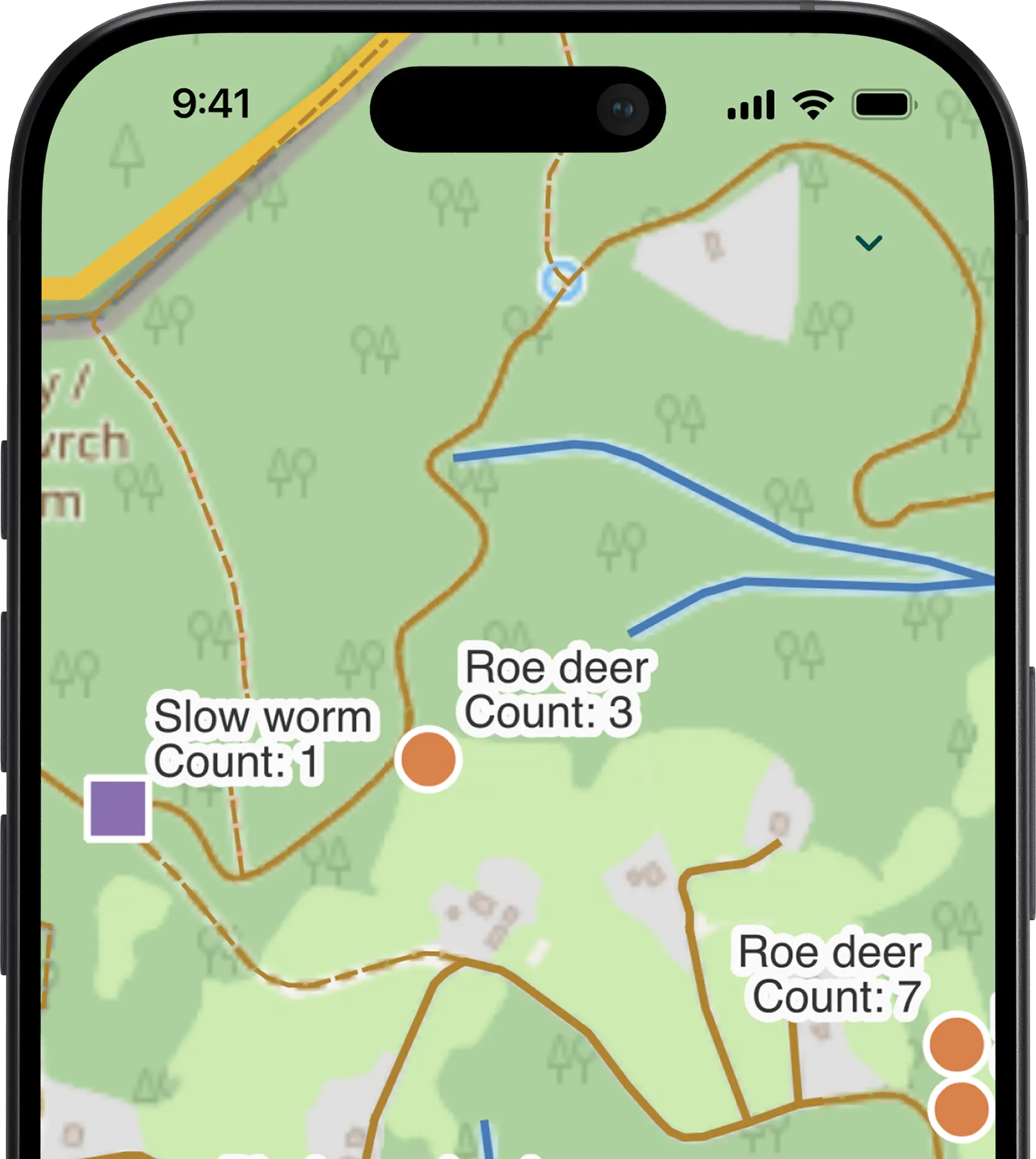
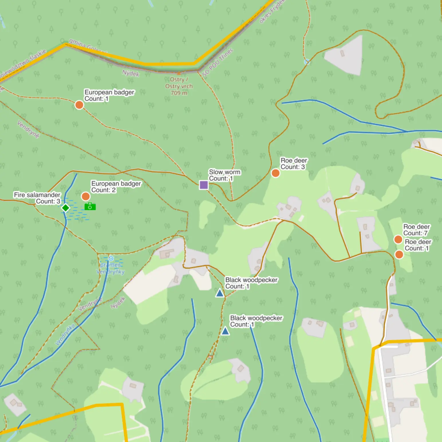
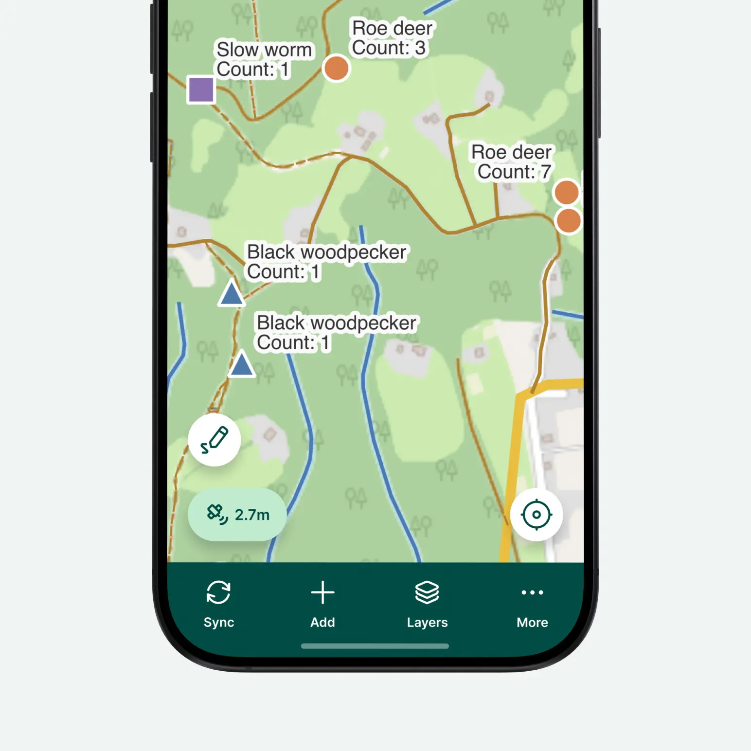
Monitor wildlife populations, record field observations, and document animal activity with precise geographic data using our specialized mobile GIS survey app. Mergin Maps guides field biologists and researchers through seamless spatial data collection using smart drill-down forms while supporting geotagged photos, camera trap logs, customized map previews, and structured observational metadata. Powered by an intuitive QGIS integration, this offline field mapping solution simplifies GPS location tracking and species inventory even without cellular connection.
Capture consistent ecological survey data in remote, hard-to-reach survey areas while keeping species sightings, high-resolution imagery, and spatial datasets organized in one place. Boost overall biological monitoring efficiency with cloud sync, real-time collaboration, and reliable spatial analysis for modern wildlife conservation management.
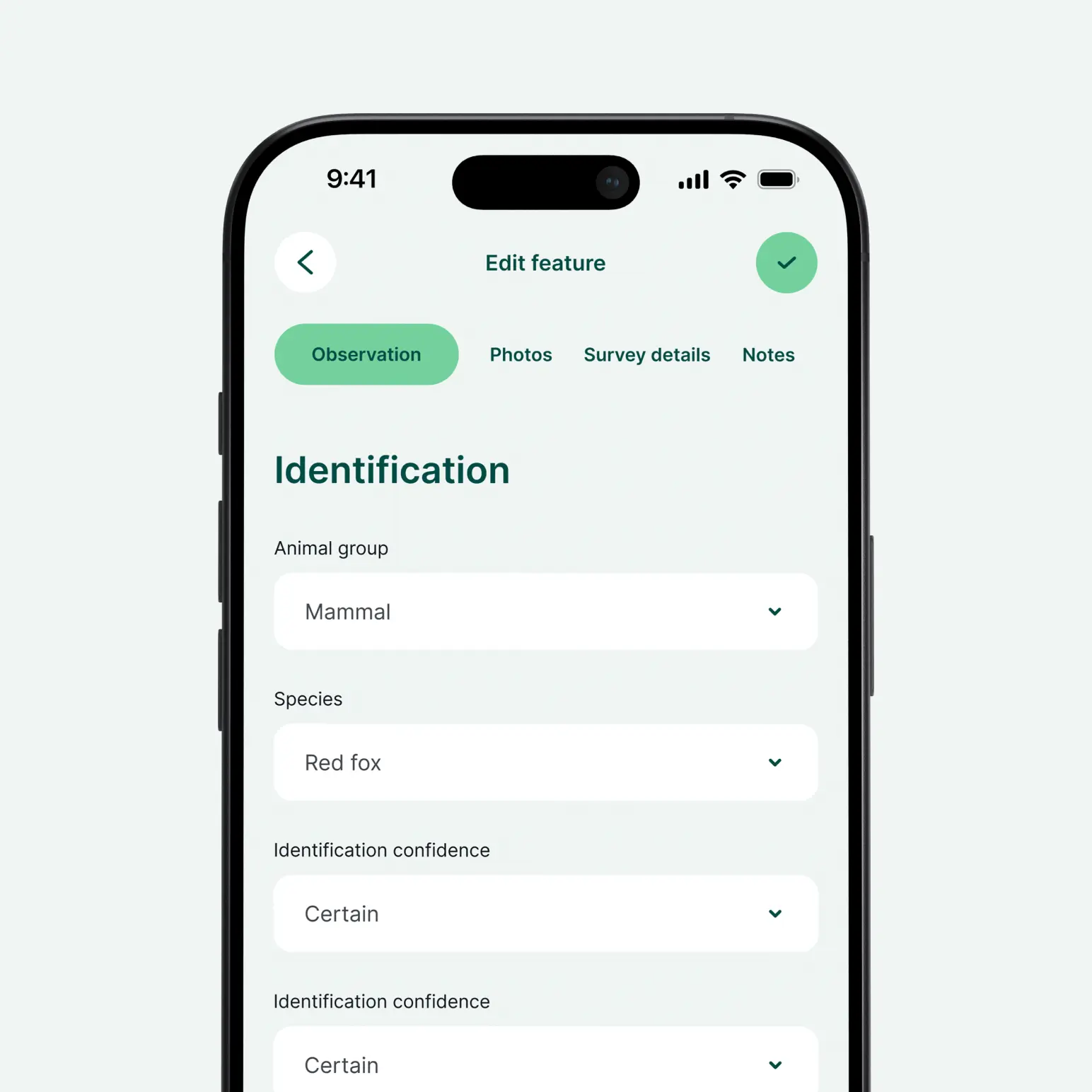


Yes, you can. Create your Mergin Maps account, clone the template into your workspace, and then you can edit it. Once cloned, you’re free to add fields, adjust forms, and apply conditional logic to suit your specific needs.
Lorem ipsum dolor sit amet, consectetur adipiscing elit, sed do eiusmod tempor incididunt ut labore et dolore magna aliqua. Ut enim ad minim veniam, quis nostrud exercitation ullamco laboris nisi ut aliquip ex ea commodo consequat.


