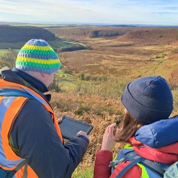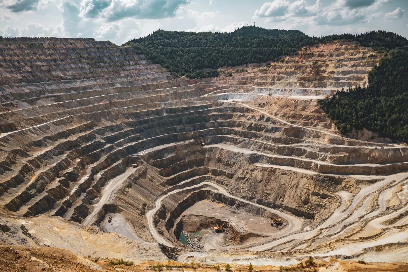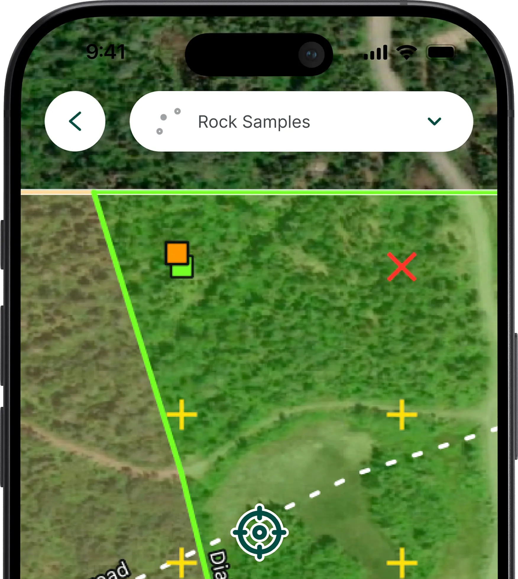
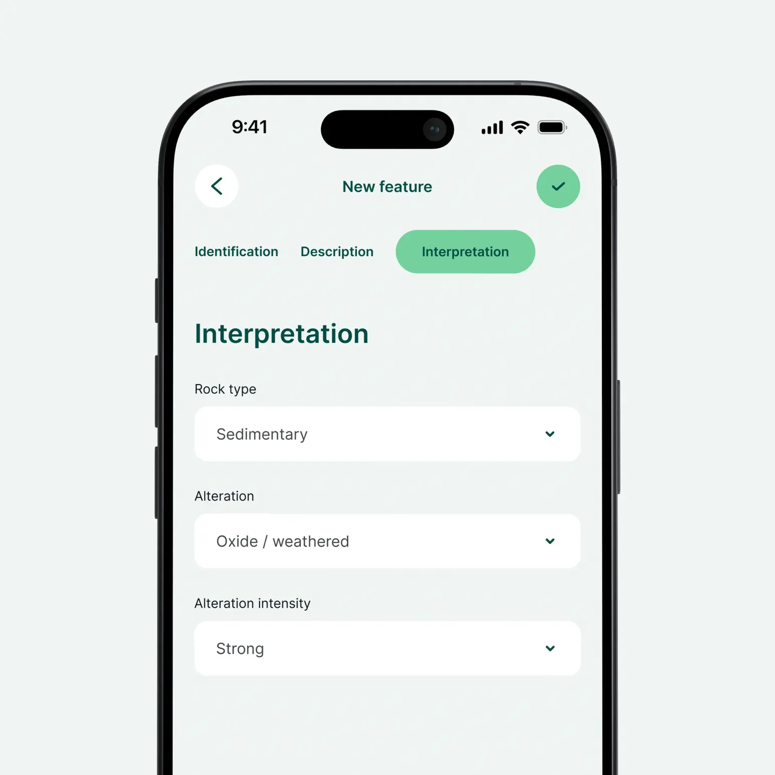
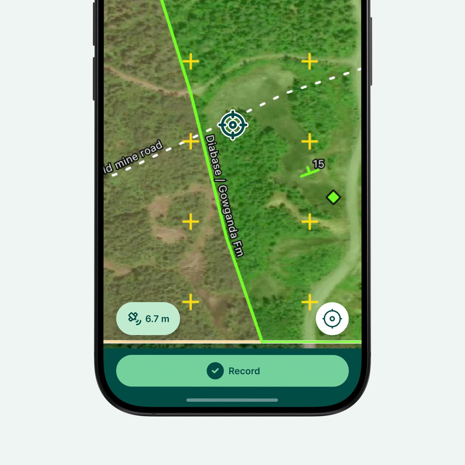
A ready to use Mergin Maps template for geological field data collection. Crews capture stations, rock and soil samples, structural measurements, photos and field mapping on phones or tablets, fully offline.
Location, date and surveyor are filled in automatically, and sample numbers come from blocks assigned to each team so they always match the printed tag books. Planned grids show sampling progress live, and everything syncs to a shared pool where all teams see the latest data.
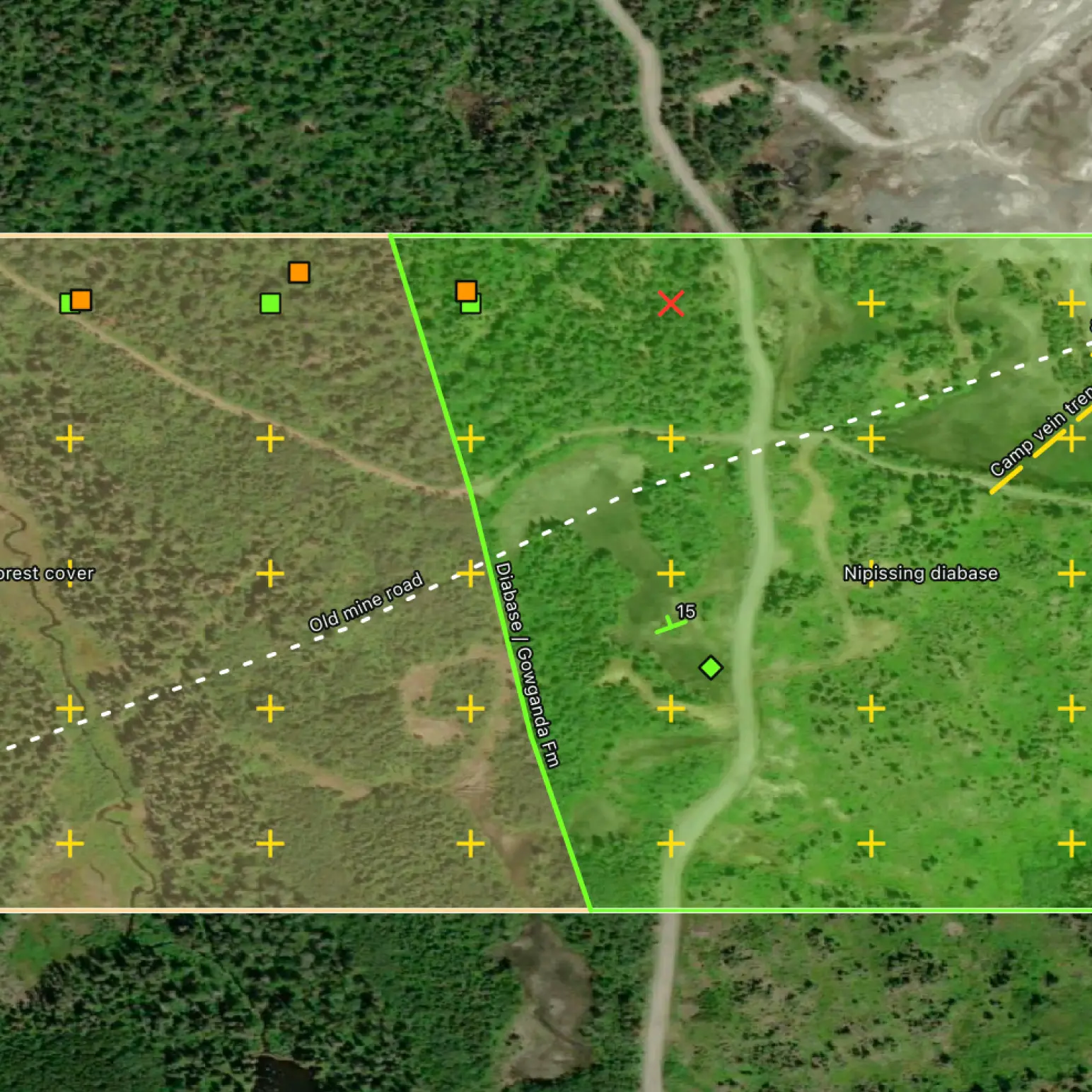


Yes, you can. Create your Mergin Maps account, clone the template into your workspace, and then you can edit it. Once cloned, you’re free to add fields, adjust forms, and apply conditional logic to suit your specific needs.
Lorem ipsum dolor sit amet, consectetur adipiscing elit, sed do eiusmod tempor incididunt ut labore et dolore magna aliqua. Ut enim ad minim veniam, quis nostrud exercitation ullamco laboris nisi ut aliquip ex ea commodo consequat.