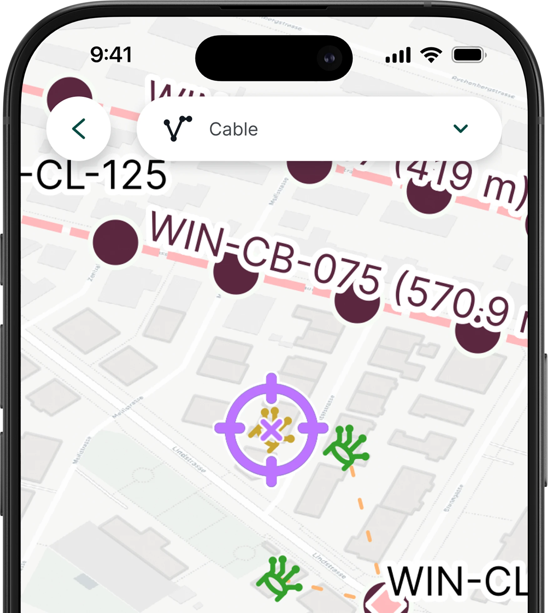
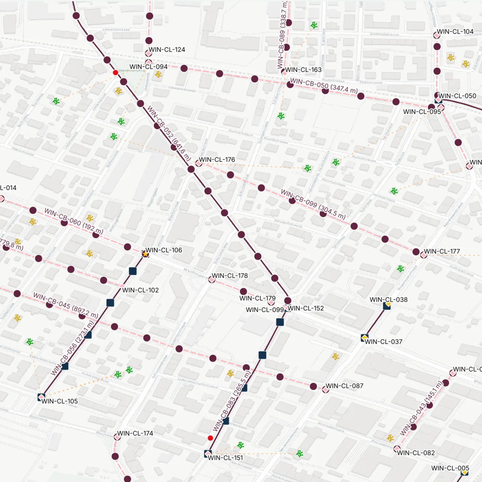
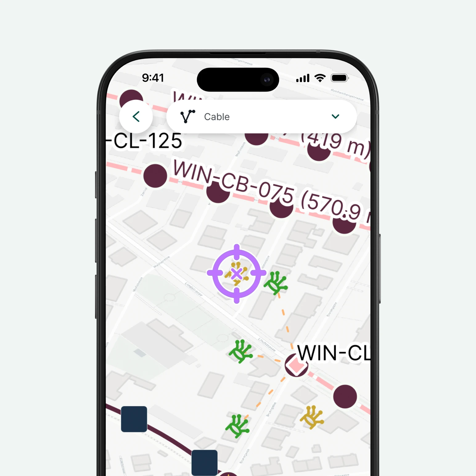
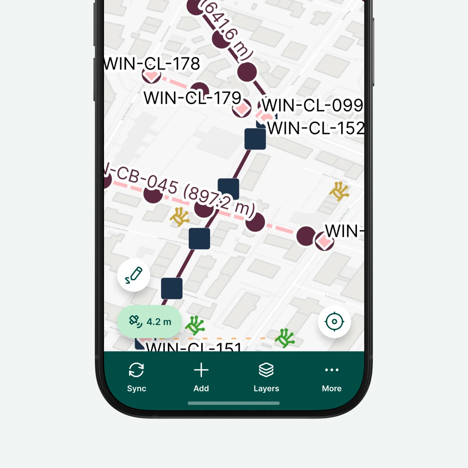
A ready to use QGIS project for fibre network field survey and design with Mergin Maps. Map cabinets, closures, poles and chambers, trace distribution and drop cables, record premises and their connection status, attach site photos and log field notes. Works offline, syncs when you’re back online. You can use it anywhere in the world.
Every operator has its own name for the same asset, so the layers use broad, recognisable terms, and they can be renamed to match your own without breaking anything.


Yes, you can. Create your Mergin Maps account, clone the template into your workspace, and then you can edit it. Once cloned, you’re free to add fields, adjust forms, and apply conditional logic to suit your specific needs.
Lorem ipsum dolor sit amet, consectetur adipiscing elit, sed do eiusmod tempor incididunt ut labore et dolore magna aliqua. Ut enim ad minim veniam, quis nostrud exercitation ullamco laboris nisi ut aliquip ex ea commodo consequat.


.jpg)


